Unlock the power of your data
Industrial Internet of Things (IIoT) technologies in the form of modern SCADA, AMI, connected sensors, and edge data collection, have the power to fundamentally change real-time decision making for utilities. These systems are now providing an unprecedented view into the health and operational state of the distribution networks of utilities. However, the creation of these large data sheets creates a common challenge, and that is how to best make use of the information beyond the highly specialized core use case.
Operations teams have done well in creating highly specialized uses and back office systems but very little of this critical information is being shared with employees in the field. The fundamental challenge of making the data available in a form that is useful to a larger audience and in a highly mobile way has inhibited the realization of the total value of investments in enhanced monitoring and IIoT systems.
Closing the data gaps between office and field
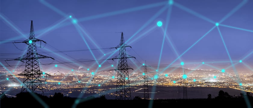
One way to improve access and usability of these types of data sets is to directly integrate multiple data sources including IIoT, ERP, CIS, and other systems to a modern geospatial platform. This level of integration can instantly close the data gaps between office and field and makes the most of this valuable data. Overlaying this information with back office data, IIoT data and public data sources like weather and traffic provides the most complete reality-centric view available to a utility employee in the field.
Modern geospatial applications add tremendous value to the raw data sets by enabling faster and better-quality data consolidation. Field employees can now see timely SCADA, FLISR, and AMI data married up with crew locations, fault indicators, and customer information, enabling them to make informed decisions before making changes to the distribution system.
Providing context to otherwise boring data points
Most data alone lacks context, requires analysis, and is often overwhelming to both systems and people. IIoT data displayed through a geospatial-aware platform improves productivity and collaboration by adding critical context that makes the data instantly useful. I am not talking about simply putting dots on a map, but displaying IIoT data in conjunction with distribution systems, customer locations, and crew locations. Providing the ability to visualize data unlocks patterns that would be hidden from view in a spreadsheet.
IIoT technology combined with geospatial applications is enabling this visibility into the distribution systems in new and exciting ways, and utility companies need a tool to make this data useful both now and in the future.
A new IIoT approach
Modern utilities require the intersection of IIoT, geospatial, and mobility to deliver a modern, agile network operation. IQGeo enables true digital transformation, now, not at a hypothetical date in the future. With IQGeo, utilities can digitize and automate inspection tasks and provide useful data to field crews and office workers alike.
IQGeo is changing the face of GIS. Before you consider a multi-million dollar migration to a legacy GIS system, you should get a future of geospatial demonstration from IQGeo.

 Previous