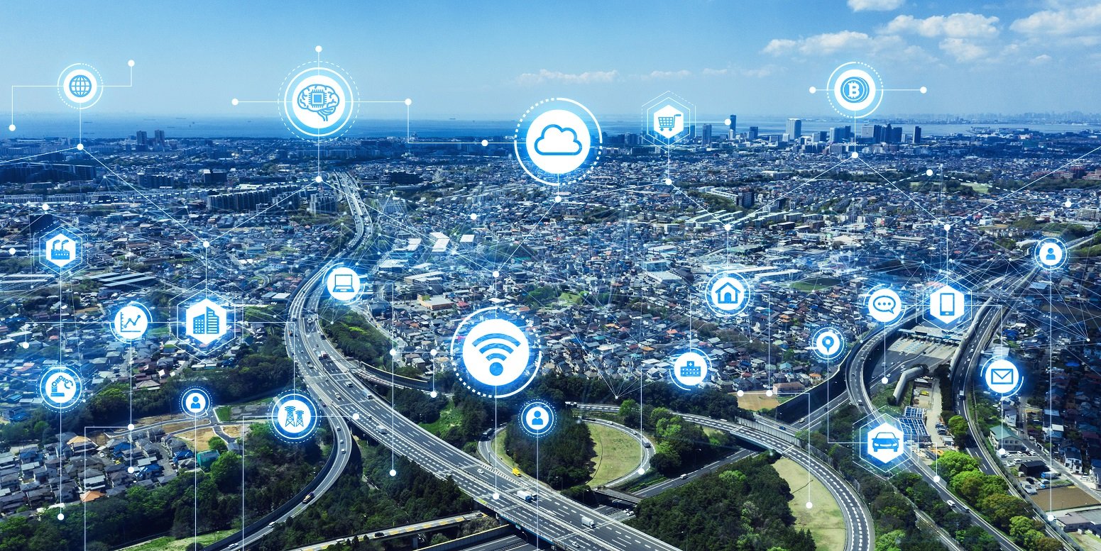
Government agencies in North America, the EU, and around the world, have announced major smart city programs with the objective of increasing the efficiency of city infrastructure by maximizing the use of the latest “smart” technology. This often involves smart sensors that can monitor and feedback critical information to create more proactive operational processes that mitigate risks and optimize increasingly burdened city resources.
In response to these government initiatives, many utility companies are developing their own Smart City or Smart Economy strategies. These are often high-profile projects designed to create a more efficient and technologically advanced network that provides better customer service and meets increasingly strict oversight demands from regulatory agencies.
The consequences of failing to deliver adequate services and meet regulatory expectations can be costly and inflict serious reputational damage. NYSEG in New York state was recently fined $10.5 million for violating emergency response plans during two major winter storms. In the UK several energy companies were fined £10.5 million for poor response to a recent power cut. Developing a more intelligent network infrastructure using the latest IoT (Internet of Things) technology is an important way of providing better services and mitigating operational risks.
The life of every modern city and its infrastructure depends on reliable and safe power, gas and water services, but this is no longer sufficient on its own. Utility networks and their energy resources are facing new challenges and smart city projects are incorporating new realities like renewable, distributed energy generation, and smart monitoring and metering. These changes can create big challenges, but they promise even bigger benefits if properly deployed. For example, monitoring local network transformers can detect and avoid power failures at an early stage and prevent serious downstream network consequences.
IoT and geospatial technology
The information generated from smart IoT sensors is of no value if it cannot be presented in a context that can be viewed, evaluated and acted upon. Many of these sensors have their own dashboards or can be consolidated using a broader IoT interface, but these interfaces are almost always lacking locational context and have no relation to the utility networks. This is where a geospatial platform comes into the equation.
At IQGeo we’ve seen how our geospatial platform delivers critical, real-time locational context that enables fast and accurate decision making, and with the integration of IoT sensor technology, you can add a mission-critical data source. In fact, IQGeo is taking a pioneering role in the implementation of geospatial-based IoT dashboards with utility network operators. The use of the IQGeo Platform is helping our customers establish a clear, visual relationship between abstract sensor data streams and the physical reality of their network connected assets in the field. This easy-to-understand, consolidated and validated geospatial view is increasing operational productivity and encouraging greater collaboration between teams.
A network-based IoT dashboard maximizes the operational efficiencies and safety potential of the data streams generated by the latest transmission technology.
IoT Sensor Transmission Overview
There are a range of IoT transmission technologies available on the market today, and below is a quick summary of some of the most common. The IQGeo Platform is independent of these communication protocols and can collect and correlate data from any of these source types.
LoRaWAN® is a media access control layer protocol for wide area networks. It is designed to allow low-powered devices to communicate IoT content over long range wireless connections. Like SIGFOX (see below), this also uses an open or unlicensed frequency-spectrum.
SIGFOX™ is a cellular technology that provides low power, low cost, and low data rate communications for devices connected remotely. In view of the low data rates used for IoT connections, the SIGFOX network uses Ultra-Narrow Band, UNB technology. The SIGFOX radio frequency is unlicensed and designed to be a scalable, high-capacity network, with very low energy consumption.
NarrowBand IoT (NB-IoT) is a Low Power Wide Area Network (LPWAN) radio technology standard developed to support a wide range of devices and services that are connected using cellular telecommunications bands. NB-IoT is a narrowband radio technology designed for IoT and is one of a range of Mobile IoT (MIoT) technologies standardized by the 3rd Generation Partnership Project (3GPP).
(Much of the information about transmission technology documented in this section was provided by our partner Digimondo.)
Example IoT and geospatial use cases
The short utility use cases in this section give some practical insights into the use and benefits of a geospatial platform in combination with sensor technologies.
Use case 1: Geospatial dashboard improves the reliability for electrical networks
Sensors are generating a real-time data stream about the capacities, peak loads, voltage fluctuations, and failures in an electricity network. With a geospatial dashboard and alarm notifications, the solution is helping utilities to improve service response times for their customers. Issues are recognized by sensors and distributed with LoRaWAN technology.
Using a geospatial platform, staff can immediately recognize the potential and actual impact of network power fluctuations within the network and exactly which areas and house connections are affected.
- Utilities can actively inform customers about outages rather than the other way around
- Possible malfunctions can be identified and even predicted allowing proactive action
- Response routing can be optimized based on the location of affected assets
Use case 2: Optimized data transfers using smart meters
Reading out smart meter data efficiently and in a cost-effective manner from awkward meter locations has been one of the biggest challenges for the utility sector. LoRaWAN allows a more reliable connection using a classic mobile radio connectivity.
Providing this near real-time smart meter data in a geospatial view allows staff to rapidly identify and plan response for areas of potential concern as a result of network failures or natural disasters.
- Meter readings can be captured at a defined interval and displayed geospatially
- Statistics can be shared in real-time with other utility networks to improve public safety
- Operators can capture service call response to support regulatory compliance obligations
Use case 3: Monitoring wastewater networks
Many municipalities face an issue with accessing underground ducts, as these must be checked manually on a regular basis. The main reason for an inspection is to identify pipe damage. For example, water in a valve shaft can be an indication of pipe damage, however this could also be rainwater. With new sensor technologies you can use temperature and water level monitoring to distinguish between district heating water and rainwater, and trigger alarms when appropriate.
A geospatial view of these statistical data sets can quickly identify larger problems that could be impacting a particular line or an entire neighborhood.
- Inform operator in real-time of potential damages within the wastewater network
- Cut service calls by eliminating unnecessary shaft checks
- Provide real-time information about the impact of storms and rainfalls on the network
Use case 4: Use a geospatial IoT dashboard to monitor the reliability of water supply networks
New sensor transmission technology provides important network information that can be quickly collated and viewed so prompt action can be taken. With network-wide monitoring it is no longer practical to manually set thresholds individually for hundreds or thousands of loggers and maintain these thresholds to ensure their relevance to changing network conditions.
The geospatial view provided by the IQGeo Platform enables alarms to be viewed in their geographical context and in relation to the water network and maximize uptime.
- Visually identify sensor patterns that indicate effects at regional distribution
- Quickly diagnose and respond to network issues to mitigate further network damage
- Improve response time and reduce network downtime, improving customer satisfaction
Spatial and network-based IoT dashboards support an intelligent and more sustainable distribution of energy resources
New global initiatives for renewable energy and sustainable resources demand a holistic approach that makes cities more efficient, technologically advanced, greener and more socially inclusive. These concepts must embrace state-of-the-art technical, economic and social innovations.
“Smart grids” are intended to ensure the necessary balance between supply and consumption of utility resources. Ultimately, such technical innovations should contribute to a better, safer, and more sustainable society that recognizes climate change, environmental pollution and worldwide population growth.
To achieve these ambitious goals, new sensor technology must be part of the overall network view, and geospatial software provides an additional level of operational context that maximizes the impact of this new sensor data. At IQGeo, we are helping our utility customers create easy-to-use, geospatial dashboards that dynamically map IoT data streams, enabling proactive network management and optimizing maintenance processes to increase their return on investment.
IQGeo would like to thank our partner Digimondo for assistance with this blog.
 Previous


